
Tai Po topographic map
Interactive map
Click on the map to display elevation.
About this map
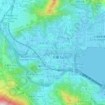
Name: Tai Po topographic map, elevation, terrain.
Location: Tai Po, Tai Po District, Hong Kong, PRC (22.43957 114.15239 22.46240 114.19339)
Average elevation: 187 ft
Minimum elevation: -26 ft
Maximum elevation: 1,293 ft