
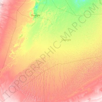
Hassi Messaoud topographic map
Interactive map
Click on the map to display elevation.
About this map
Name: Hassi Messaoud topographic map, elevation, terrain.
Location: Hassi Messaoud, Hassi Messaoud District, Ouargla, Algeria (28.49837 2.99653 32.61491 7.06373)
Average elevation: 840 ft
Minimum elevation: 335 ft
Maximum elevation: 1,982 ft