
Daman topographic map
Interactive map
Click on the map to display elevation.
About this map
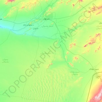
Name: Daman topographic map, elevation, terrain.
Location: Daman, Kandahar Province, Afghanistan (30.59808 65.35463 31.84597 66.29522)
Average elevation: 3,888 ft
Minimum elevation: 2,825 ft
Maximum elevation: 8,743 ft
Other topographic maps
Click on a map to view its topography, its elevation and its terrain.
Kandahar
Afghanistan > Kandahar Province > Kandahar
Kandahar, Kandahar Province, 3801, Afghanistan
Average elevation: 3,438 ft