
Vega Larga topographic map
Interactive map
Click on the map to display elevation.
About this map
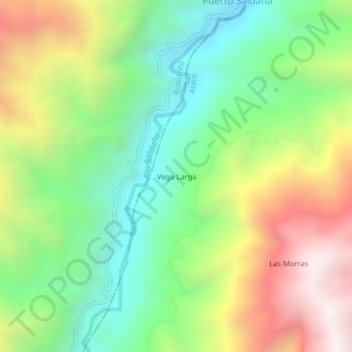
Name: Vega Larga topographic map, elevation, terrain.
Location: Vega Larga, Ataco, Tolima, Colombia (3.34331 -75.73759 3.38331 -75.69759)
Average elevation: 4,898 ft
Minimum elevation: 3,035 ft
Maximum elevation: 7,677 ft