
Radnevo topographic map
Interactive map
Click on the map to display elevation.
About this map
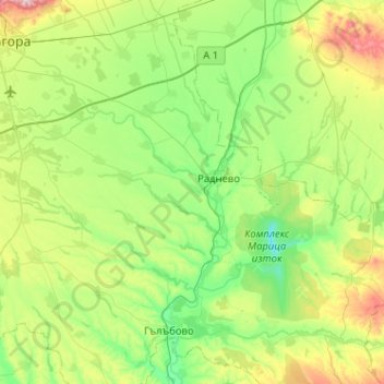
Name: Radnevo topographic map, elevation, terrain.
Location: Radnevo, Stara Zagora, Bulgaria (42.15386 25.68187 42.39646 26.19293)
Average elevation: 512 ft
Minimum elevation: 135 ft
Maximum elevation: 1,558 ft