
Fiumara topographic map
Interactive map
Click on the map to display elevation.
About this map
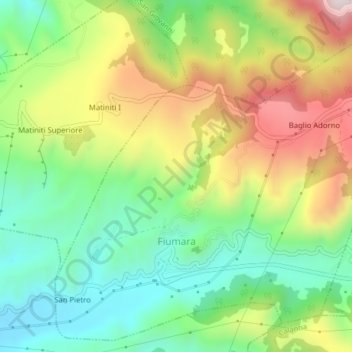
Name: Fiumara topographic map, elevation, terrain.
Location: Fiumara, RC, Calabria, Italia (38.20393 15.68004 38.23284 15.71949)
Average elevation: 1,060 ft
Minimum elevation: 308 ft
Maximum elevation: 2,188 ft