
Theni topographic map
Interactive map
Click on the map to display elevation.
About this map
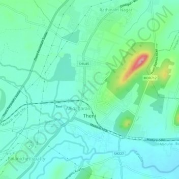
Name: Theni topographic map, elevation, terrain.
Location: Theni, Theni district, Tamil Nadu, India (9.99669 77.46038 10.03844 77.50709)
Average elevation: 1,010 ft
Minimum elevation: 915 ft
Maximum elevation: 1,358 ft