
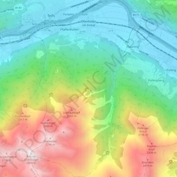
Oberhofen im Inntal topographic map
Interactive map
Click on the map to display elevation.
About this map
Name: Oberhofen im Inntal topographic map, elevation, terrain.
Location: Oberhofen im Inntal, Innsbruck-Land, Tirol, 6406, Österreich (47.23579 11.05857 47.31136 11.12437)
Average elevation: 4,534 ft
Minimum elevation: 1,982 ft
Maximum elevation: 9,373 ft