
Seal topographic map
Interactive map
Click on the map to display elevation.
About this map
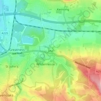
Name: Seal topographic map, elevation, terrain.
Location: Seal, Kent, South East, England, TN15 0BB, United Kingdom (51.26962 0.20063 51.30962 0.24063)
Average elevation: 358 ft
Minimum elevation: 194 ft
Maximum elevation: 643 ft