
Aïn Abid topographic map
Interactive map
Click on the map to display elevation.
About this map
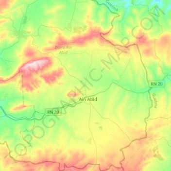
Name: Aïn Abid topographic map, elevation, terrain.
Location: Aïn Abid, Daïra Aïn Abid, Constantine, 25015, Algérie (36.13680 6.82606 36.36071 7.04932)
Average elevation: 2,904 ft
Minimum elevation: 2,031 ft
Maximum elevation: 4,327 ft