
Nelse topographic map
Interactive map
Click on the map to display elevation.
About this map
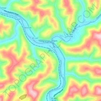
Name: Nelse topographic map, elevation, terrain.
Location: Nelse, Pike County, Kentucky, 41562, United States (37.38399 -82.46015 37.42399 -82.42015)
Average elevation: 1,033 ft
Minimum elevation: 659 ft
Maximum elevation: 1,535 ft