
Spring Valley topographic map
Interactive map
Click on the map to display elevation.
About this map
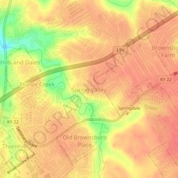
Name: Spring Valley topographic map, elevation, terrain.
Location: Spring Valley, Jefferson County, Kentucky, United States (38.29186 -85.61649 38.30232 -85.60525)
Average elevation: 600 ft
Minimum elevation: 453 ft
Maximum elevation: 659 ft