
Koya topographic map
Interactive map
Click on the map to display elevation.
About this map
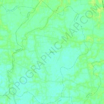
Name: Koya topographic map, elevation, terrain.
Location: Koya, Kamrup, Assam, 781350, India (26.32521 91.51968 26.42098 91.60224)
Average elevation: 164 ft
Minimum elevation: 148 ft
Maximum elevation: 184 ft