
Pamukan Indah topographic map
Interactive map
Click on the map to display elevation.
About this map
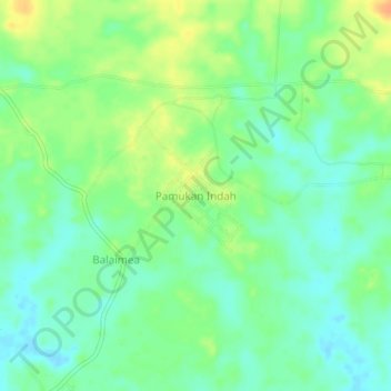
Name: Pamukan Indah topographic map, elevation, terrain.
Location: Pamukan Indah, South Kalimantan, Indonesia (-2.40820 116.23645 -2.36820 116.27645)
Average elevation: 46 ft
Minimum elevation: -3 ft
Maximum elevation: 115 ft