
Zaanstad topographic map
Interactive map
Click on the map to display elevation.
About this map
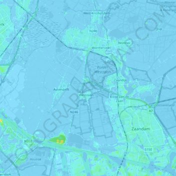
Name: Zaanstad topographic map, elevation, terrain.
Location: Zaanstad, North Holland, Netherlands (52.41666 4.67485 52.52125 4.86281)
Average elevation: 0 ft
Minimum elevation: -23 ft
Maximum elevation: 75 ft