
Sanderson topographic map
Interactive map
Click on the map to display elevation.
About this map
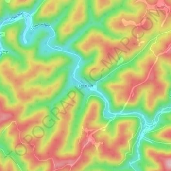
Name: Sanderson topographic map, elevation, terrain.
Location: Sanderson, Kanawha County, West Virginia, United States (38.34455 -81.38817 38.38455 -81.34817)
Average elevation: 1,079 ft
Minimum elevation: 666 ft
Maximum elevation: 1,490 ft