
Hartford topographic map
Interactive map
Click on the map to display elevation.
About this map
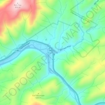
Name: Hartford topographic map, elevation, terrain.
Location: Hartford, Cocke County, Tennessee, 37753, United States (35.79676 -83.16321 35.83676 -83.12321)
Average elevation: 1,745 ft
Minimum elevation: 1,230 ft
Maximum elevation: 2,802 ft