
Xanten topographic map
Interactive map
Click on the map to display elevation.
About this map
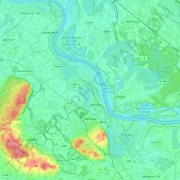
Name: Xanten topographic map, elevation, terrain.
Location: Xanten, Kreis Wesel, North Rhine-Westphalia, 46509, Germany (51.61340 6.35493 51.75519 6.51750)
Average elevation: 79 ft
Minimum elevation: 23 ft
Maximum elevation: 302 ft