
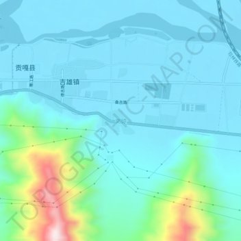
Gangqiong topographic map
Interactive map
Click on the map to display elevation.
About this map
Name: Gangqiong topographic map, elevation, terrain.
Location: Gangqiong, Gonggar County, Shannan, Tibet, China (29.26601 90.97599 29.30601 91.01599)
Average elevation: 11,972 ft
Minimum elevation: 11,686 ft
Maximum elevation: 13,474 ft