
Hosterman topographic map
Interactive map
Click on the map to display elevation.
About this map
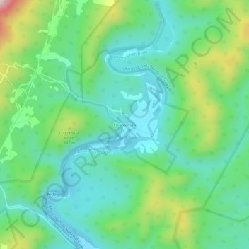
Name: Hosterman topographic map, elevation, terrain.
Location: Hosterman, Pocahontas County, West Virginia, United States (38.45317 -79.88173 38.49317 -79.84173)
Average elevation: 2,933 ft
Minimum elevation: 2,526 ft
Maximum elevation: 3,983 ft