
Günsa topographic map
Interactive map
Click on the map to display elevation.
About this map
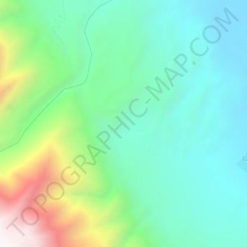
Name: Günsa topographic map, elevation, terrain.
Location: Günsa, Gar County, Ngari Prefecture, Tibet, China (32.06333 79.94667 32.10333 79.98667)
Average elevation: 15,141 ft
Minimum elevation: 13,990 ft
Maximum elevation: 18,186 ft