
Mount Olive topographic map
Interactive map
Click on the map to display elevation.
About this map
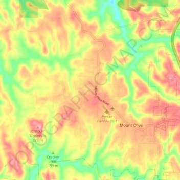
Name: Mount Olive topographic map, elevation, terrain.
Location: Mount Olive, Jefferson County, Alabama, United States (33.64948 -86.90626 33.71967 -86.84162)
Average elevation: 548 ft
Minimum elevation: 331 ft
Maximum elevation: 715 ft