
EL SUDAN topographic map
Interactive map
Click on the map to display elevation.
About this map
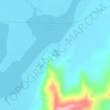
Name: EL SUDAN topographic map, elevation, terrain.
Location: EL SUDAN, Tiquisio, Mojana, Bolívar, Colombia (8.63395 -74.22282 8.65395 -74.20282)
Average elevation: 135 ft
Minimum elevation: 46 ft
Maximum elevation: 705 ft