
Pâturages topographic map
Interactive map
Click on the map to display elevation.
About this map
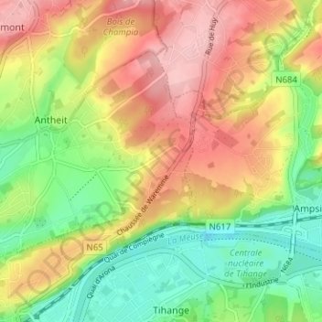
Name: Pâturages topographic map, elevation, terrain.
Location: Pâturages, Huy, Liège, Wallonie, 4500, Belgique (50.52608 5.23752 50.56608 5.27752)
Average elevation: 420 ft
Minimum elevation: 180 ft
Maximum elevation: 676 ft