
Mbelagha topographic map
Interactive map
Click on the map to display elevation.
About this map
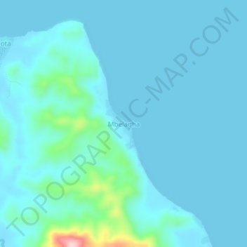
Name: Mbelagha topographic map, elevation, terrain.
Location: Mbelagha, Central Province, Solomon Islands (-9.09436 160.31118 -9.05436 160.35118)
Average elevation: 79 ft
Minimum elevation: 0 ft
Maximum elevation: 794 ft