
Tanjung Rambutan topographic map
Interactive map
Click on the map to display elevation.
About this map
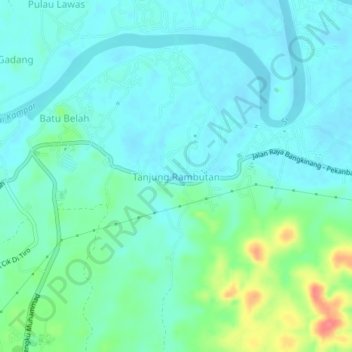
Name: Tanjung Rambutan topographic map, elevation, terrain.
Location: Tanjung Rambutan, Kampar Regency, Riau, 28461, Indonesia (0.33438 101.04157 0.37438 101.08157)
Average elevation: 138 ft
Minimum elevation: 89 ft
Maximum elevation: 305 ft