
Village of Honeoye Falls topographic map
Interactive map
Click on the map to display elevation.
About this map
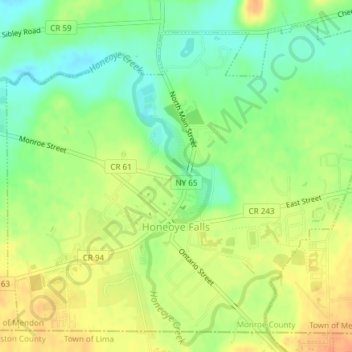
Name: Village of Honeoye Falls topographic map, elevation, terrain.
Average elevation: 656 ft
Minimum elevation: 591 ft
Maximum elevation: 719 ft
Other topographic maps
Click on a map to view its topography, its elevation and its terrain.
Mendon Ponds Park
United States > New York > Monroe County > Town of Mendon
Mendon Ponds Park, Town of Mendon, Monroe County, New York, United States
Average elevation: 669 ft