
Ban Mae Chaem topographic map
Interactive map
Click on the map to display elevation.
About this map
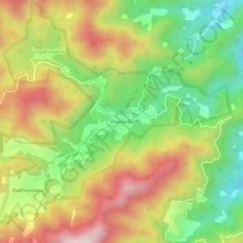
Name: Ban Mae Chaem topographic map, elevation, terrain.
Location: Ban Mae Chaem, Lampang Province, Thailand (18.90003 99.40513 18.94003 99.44513)
Average elevation: 3,642 ft
Minimum elevation: 2,713 ft
Maximum elevation: 4,715 ft