
La Corolla topographic map
Interactive map
Click on the map to display elevation.
About this map
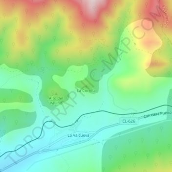
Name: La Corolla topographic map, elevation, terrain.
Location: La Corolla, Matallana de Torío, León, Castile and León, Spain (42.85505 -5.48505 42.85515 -5.48495)
Average elevation: 3,822 ft
Minimum elevation: 3,284 ft
Maximum elevation: 4,820 ft