
Terusan topographic map
Interactive map
Click on the map to display elevation.
About this map
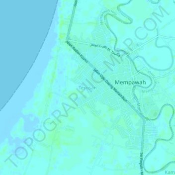
Name: Terusan topographic map, elevation, terrain.
Location: Terusan, West Kalimantan, Indonesia (0.34229 108.93097 0.38229 108.97097)
Average elevation: 7 ft
Minimum elevation: -10 ft
Maximum elevation: 26 ft