
La Tercera topographic map
Interactive map
Click on the map to display elevation.
About this map
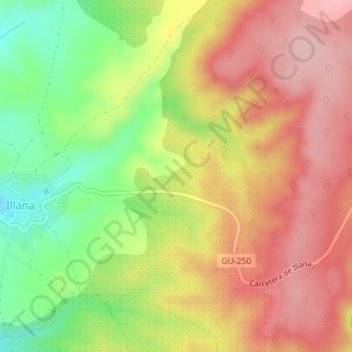
Name: La Tercera topographic map, elevation, terrain.
Location: La Tercera, Illana, Guadalajara, Castilla-La Mancha, España (40.17636 -2.90258 40.19636 -2.88258)
Average elevation: 2,769 ft
Minimum elevation: 2,421 ft
Maximum elevation: 3,048 ft