
Lineville topographic map
Interactive map
Click on the map to display elevation.
About this map
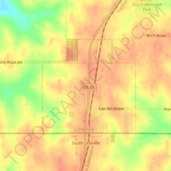
Name: Lineville topographic map, elevation, terrain.
Location: Lineville, Wayne County, Iowa, 50147, United States (40.58047 -93.53283 40.59531 -93.51343)
Average elevation: 1,070 ft
Minimum elevation: 961 ft
Maximum elevation: 1,112 ft
Other topographic maps
Click on a map to view its topography, its elevation and its terrain.
Clio
United States > Iowa > Wayne County
Clio, Wayne County, Iowa, 50052, United States
Average elevation: 1,099 ft
Corydon
United States > Iowa > Wayne County
Corydon, Wayne County, Iowa, United States
Average elevation: 1,066 ft