
Horn Island topographic map
Interactive map
Click on the map to display elevation.
About this map
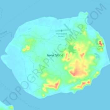
Name: Horn Island topographic map, elevation, terrain.
Average elevation: 36 ft
Minimum elevation: 0 ft
Maximum elevation: 335 ft
Other topographic maps
Click on a map to view its topography, its elevation and its terrain.
Thursday Island
Australia > Queensland > Thursday Island
Thursday Island, Torres Shire, Queensland, 4875, Australia
Average elevation: 33 ft