
(West) Mueller Park topographic map
Interactive map
Click on the map to display elevation.
About this map
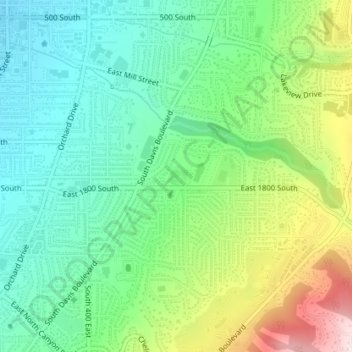
Name: (West) Mueller Park topographic map, elevation, terrain.
Average elevation: 4,833 ft
Minimum elevation: 4,400 ft
Maximum elevation: 5,741 ft