
Grote-Brogel topographic map
Interactive map
Click on the map to display elevation.
About this map
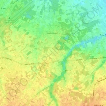
Name: Grote-Brogel topographic map, elevation, terrain.
Location: Grote-Brogel, Peer, Limburg, Flanders, Belgium (51.10592 5.47030 51.17797 5.54762)
Average elevation: 194 ft
Minimum elevation: 138 ft
Maximum elevation: 236 ft