
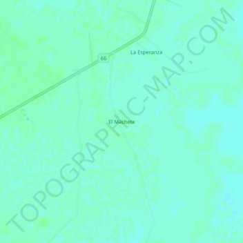
El Machete topographic map
Interactive map
Click on the map to display elevation.
About this map
Name: El Machete topographic map, elevation, terrain.
Location: El Machete, Arauca, Colombia (6.99167 -70.74823 7.03167 -70.70823)
Average elevation: 417 ft
Minimum elevation: 407 ft
Maximum elevation: 430 ft