
Los Argüellos topographic map
Interactive map
Click on the map to display elevation.
About this map
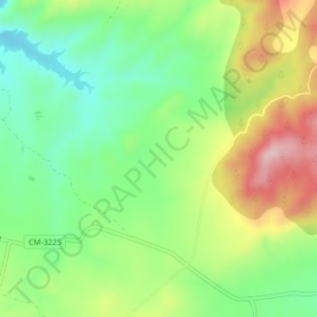
Name: Los Argüellos topographic map, elevation, terrain.
Location: Los Argüellos, Yeste, Albacete, Castile-La Mancha, Spain (38.33804 -2.24161 38.35804 -2.22161)
Average elevation: 2,201 ft
Minimum elevation: 1,870 ft
Maximum elevation: 2,697 ft