Shahr-e Kord topographic map
Interactive map
Click on the map to display elevation.
About this map
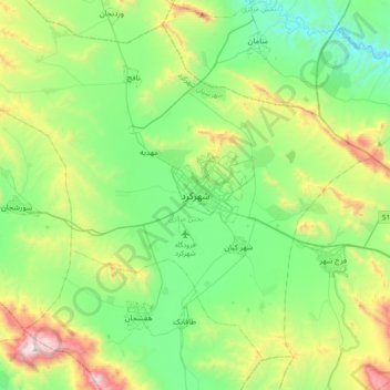
Name: Shahr-e Kord topographic map, elevation, terrain.
Average elevation: 7,251 ft
Minimum elevation: 5,856 ft
Maximum elevation: 10,869 ft

Click on the map to display elevation.
Name: Shahr-e Kord topographic map, elevation, terrain.
Average elevation: 7,251 ft
Minimum elevation: 5,856 ft
Maximum elevation: 10,869 ft