
El Entredicho topographic map
Interactive map
Click on the map to display elevation.
About this map
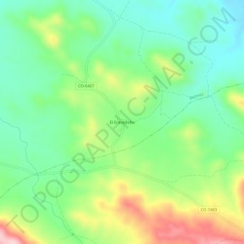
Name: El Entredicho topographic map, elevation, terrain.
Location: El Entredicho, Cordoue, Andalousie, Espagne (38.19268 -5.22095 38.23268 -5.18095)
Average elevation: 1,873 ft
Minimum elevation: 1,594 ft
Maximum elevation: 2,392 ft