
Buckner topographic map
Interactive map
Click on the map to display elevation.
About this map
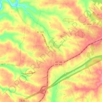
Name: Buckner topographic map, elevation, terrain.
Location: Buckner, Oldham County, Kentucky, 40010, United States (38.36391 -85.49297 38.42185 -85.41107)
Average elevation: 761 ft
Minimum elevation: 584 ft
Maximum elevation: 873 ft