
Litchfield topographic map
Interactive map
Click on the map to display elevation.
About this map
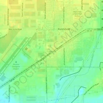
Name: Litchfield topographic map, elevation, terrain.
Location: Litchfield, Maricopa County, Arizona, 85338, United States (33.40681 -112.37529 33.44681 -112.33529)
Average elevation: 961 ft
Minimum elevation: 919 ft
Maximum elevation: 997 ft