
Port of Fujairah topographic map
Interactive map
Click on the map to display elevation.
About this map
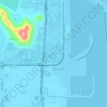
Name: Port of Fujairah topographic map, elevation, terrain.
Location: Port of Fujairah, Fujairah, United Arab Emirates (25.16185 56.34415 25.18185 56.36415)
Average elevation: 30 ft
Minimum elevation: -13 ft
Maximum elevation: 525 ft
Other topographic maps
Click on a map to view its topography, its elevation and its terrain.
Fujairah
United Arab Emirates > Fujairah > Fujairah
Fujairah, United Arab Emirates
Average elevation: 630 ft