
Hawi topographic map
Interactive map
Click on the map to display elevation.
About this map
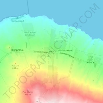
Name: Hawi topographic map, elevation, terrain.
Location: Hawi, Hawaiʻi County, Hawaii, 96719, United States (20.19901 -155.87145 20.27901 -155.79145)
Average elevation: 558 ft
Minimum elevation: 0 ft
Maximum elevation: 1,772 ft