
Tane topographic map
Interactive map
Click on the map to display elevation.
About this map
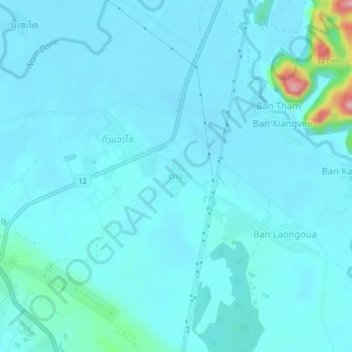
Name: Tane topographic map, elevation, terrain.
Location: Tane, Thakhek District, Khammouane, 1201, Laos (17.40128 104.83268 17.44128 104.87268)
Average elevation: 518 ft
Minimum elevation: 469 ft
Maximum elevation: 991 ft