
Forfar topographic map
Interactive map
Click on the map to display elevation.
About this map
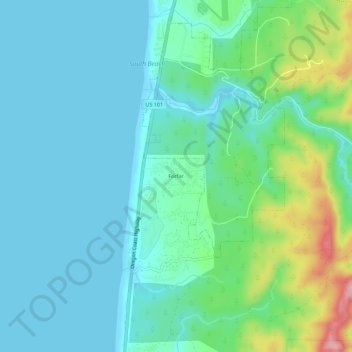
Name: Forfar topographic map, elevation, terrain.
Location: Forfar, Lincoln County, Oregon, United States of America (44.53436 -124.08635 44.57436 -124.04635)
Average elevation: 98 ft
Minimum elevation: -3 ft
Maximum elevation: 456 ft