
Jersalem topographic map
Interactive map
Click on the map to display elevation.
About this map
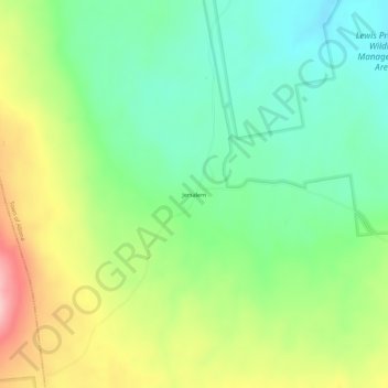
Name: Jersalem topographic map, elevation, terrain.
Location: Jersalem, Clinton County, New York, United States of America (44.78754 -73.76542 44.82754 -73.72542)
Average elevation: 1,309 ft
Minimum elevation: 1,096 ft
Maximum elevation: 1,667 ft