
Westville topographic map
Interactive map
Click on the map to display elevation.
About this map
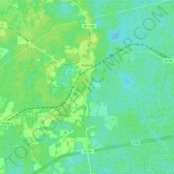
Name: Westville topographic map, elevation, terrain.
Location: Westville, Holmes County, Florida, United States of America (30.74699 -85.86852 30.79101 -85.81648)
Average elevation: 59 ft
Minimum elevation: 33 ft
Maximum elevation: 82 ft