
Lick Branch topographic map
Interactive map
Click on the map to display elevation.
About this map
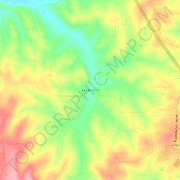
Name: Lick Branch topographic map, elevation, terrain.
Location: Lick Branch, Boone County, Arkansas, United States (36.31007 -93.24879 36.35007 -93.20879)
Average elevation: 1,302 ft
Minimum elevation: 1,083 ft
Maximum elevation: 1,509 ft