
Bihar Sharif topographic map
Interactive map
Click on the map to display elevation.
About this map
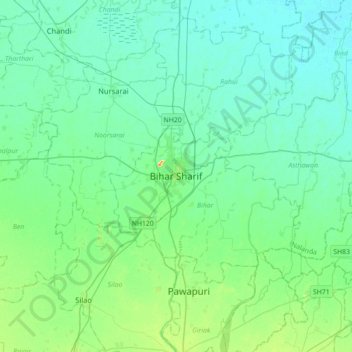
Name: Bihar Sharif topographic map, elevation, terrain.
Location: Bihar Sharif, Bihar, Nalanda, Bihar, 811105, India (25.03386 85.36086 25.35386 85.68086)
Average elevation: 177 ft
Minimum elevation: 138 ft
Maximum elevation: 358 ft