
Nieuwerkerken topographic map
Interactive map
Click on the map to display elevation.
About this map
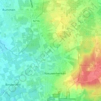
Name: Nieuwerkerken topographic map, elevation, terrain.
Location: Nieuwerkerken, Hasselt, Limburg, Flanders, 3850, Belgium (50.85440 5.17094 50.89454 5.21342)
Average elevation: 148 ft
Minimum elevation: 82 ft
Maximum elevation: 266 ft